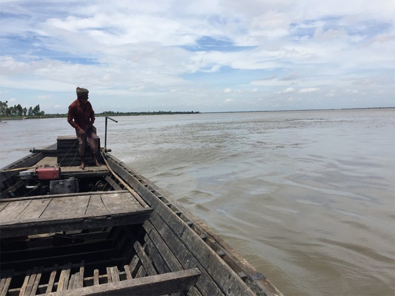
On 23 July 2018, a dam in southernmost Laos collapsed, and the resultant flood left more than 6,000 people homeless. The fractures in the dam that led to the disaster were discovered 2 days earlier. Yet the residents who lived downstream—many across the border in Cambodia—didn’t have access to real-time information about the increased risk of flooding. Such floodwaters that cross borders are often termed “transboundary floods” and are more likely to be catastrophic. News such as dam-driven flooding in Laos underscores the urgency of making information on upstream dams in transboundary regions more accessible to citizens of developing nations.
In full: https://eos.org/project-updates/when-floods-cross-borders-satellite-data-can-help
