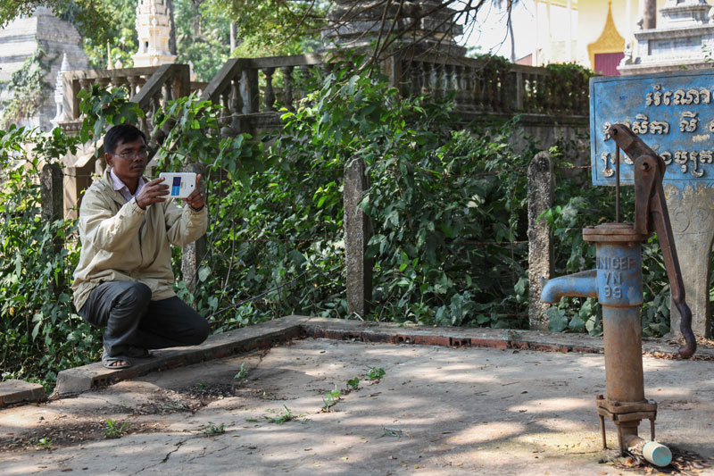
Aiming to improve responses to flooding and prevent people from contracting the diseases that floodwaters carry, a number of NGOs have worked with the Ministry of Rural Development to pilot a mobile-phone application to map the country’s wells.
Since February, officials in five provinces have recorded about 1,100 wells using an app that collects images, exact locations and detailed descriptions of wells that are vulnerable to floods, said Paul Conrad, disaster management program manager at the NGO People in Need, which worked with Unicef and the Open Institute to develop the app.

Hundreds of thousands of wells in the country serve as a crucial source of water for rural populations, but many are poorly maintained or poorly placed and require repairs or relocation to higher grounds, according to Mr. Conrad.
“We need to improve wells and repair those susceptible to floods. The information collected through this survey will give [local authorities] the backing to explain what is going on and a systematic basis to ask for funds from the government and other organizations,” he added.
The information collected through the app, available in both Khmer and English, is automatically sent to a database when a smartphone or device is connected to the Internet, Mr. Conrad explained.
“It cuts down on the whole process of data collection in terms of time and resources. With the old system, someone would go out with a paper survey, fill it out, and then come back to the office to fill in the database,” he said.
Meas Bunly, communication specialist at Unicef, said the app would help address public health issues that arise when wells are filled with floodwater.
“During floods, contaminated water polluted by, for example, animal or human feces could leak into wells, leading to microbial contamination…of water used by households,” Mr. Bunly said in an email, adding that contaminated water can cause diarrhea and diseases including cholera.
Soueng Songkour, an official in the Banteay Meanchey provincial department of rural development who took part in the pilot program, said that dozens of wells in need of maintenance were located.
“The data from the program is more specific than the information the village chiefs and commune chiefs report,” he said. “Through the program we found that out of 200 wells, 60 percent of them can be fixed but 40 percent have to be replaced.”
Sok Van Doeun, director of the Battambang provincial rural development department, said the new app is useful, but that officials still had limited reach due to a lack of funding.
“We want to register the wells in the whole province but we cannot, our province does not have enough budget,” he said.